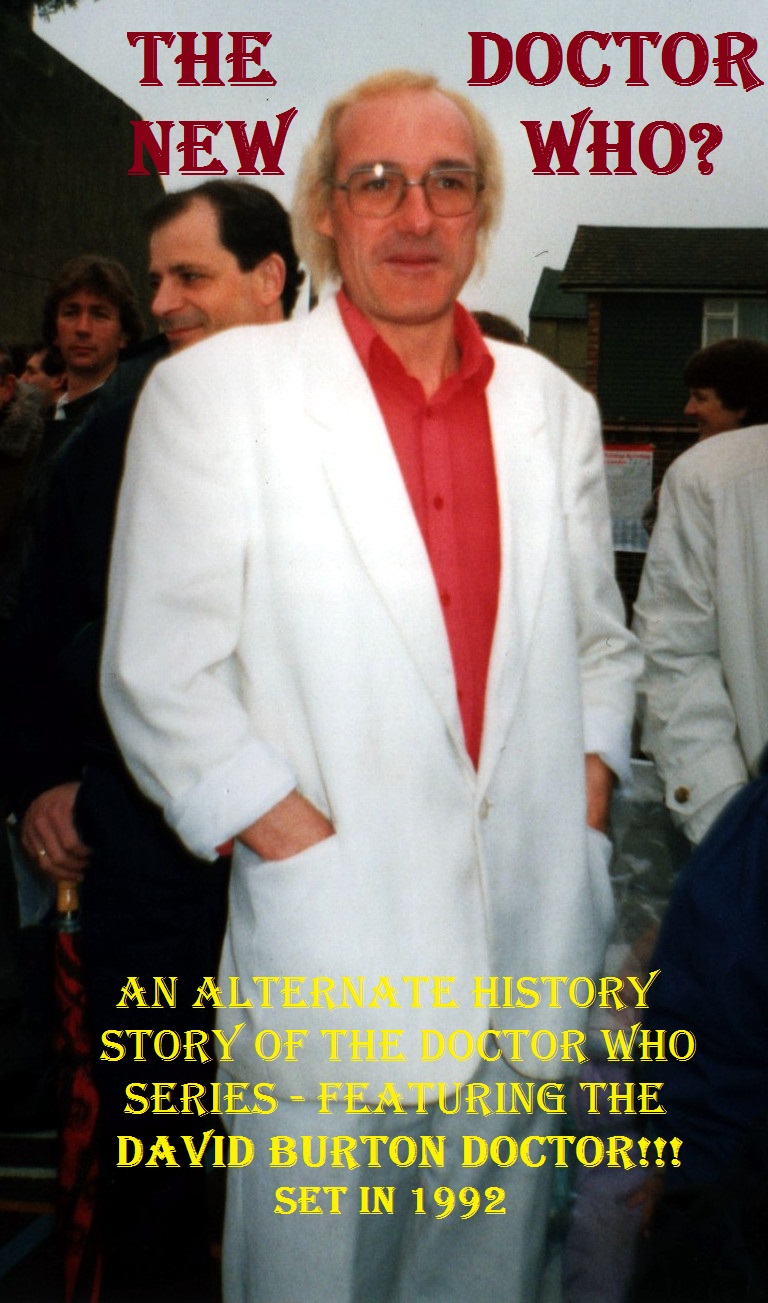
A few years ago, I did a novel length piece of work called The New Doctor.
Basically, what happened was back in 1991, there was a local actor named David Burton. He was a semi-big deal in a small town, he had a radio show, a column, did theatre. Anyway, he was trying to get the local dealership to give him a car, for promotional purpose. To help persuade them, he embellished his resume a little bit. Doctor Who was off the air, he figured what harm was there in attaching his name to a defunct children’s show. So he claimed that he was going to be ‘The New Doctor Who.’ It looked good, and when it failed to materialize, he could just say the project fell through, as these things often did.
Unfortunately, Doctor Who was kind of a cult thing, with legions of crazed fans, so he got a lot more attention than he intended. So much so, that he had to make up a more detailed story. A mysterious company, a hush hush pilot project called ‘Monsters of Ness’; shooting at caves, in a small town, a warehouse; even a location shoot in Austria; a red phone booth instead of the blue Tardis; twin girls called Heart and Diamond as companions. None of it was ever verified, and people did try. Eventually, the whole thing faded away.
Okay, that’s the ‘true part’ of the story. The consensus is that it was all a hoax, and personally, I don’t fault Burton at all. He told an innocent little white lie to polish up his resume, and it kind of exploded on him. If anything, I’m sympathetic.
So, I got the idea, what if Burton’s story was true.